
A drone building survey isn't just a fancy bit of kit; it's a completely different way of looking at a building. Instead of relying on risky manual inspections, we use unmanned aerial vehicles (UAVs) to capture incredibly detailed imagery and data from the entire property exterior. This creates a precise digital record that forms the foundation for modern property assessment.
A New Era for Property Inspections
Think about the old way of finding a single cracked tile on a huge warehouse roof. It meant expensive scaffolding, surveyors climbing in high-risk conditions, and the data you got back was often patchy at best. It was slow, costly, and dangerous, with a massive margin for error. That old-school approach is like trying to navigate London with a hand-drawn A-Z; you might get there eventually, but you’ll miss a lot of crucial details along the way.
Now, picture a drone building survey. It’s like swapping that paper map for a live, high-definition 3D model of the city. The leap in accuracy, safety, and speed is huge. This isn't some futuristic gimmick; it’s a practical, accessible solution that tackles the biggest inspection headaches head-on.
Moving Beyond Traditional Limits
Drone building surveys are a game-changer, setting a new standard for comprehensive asset surveys. They cut right to the heart of the problems that have always plagued manual methods:
- Safety First: Drones completely remove the need for people to work at height, eliminating one of the most significant dangers in the construction and maintenance industries. No more ladders, no more harnesses, no more risk.
- Serious Cost Savings: Forget the cost and hassle of scaffolding, cherry pickers, or big inspection crews. Drone surveys slash project costs and deliver results in a fraction of the time.
- Unmatched Data Quality: A drone captures consistent, high-resolution data from every possible angle. This builds a detailed 'digital twin' of the building that can be analysed and referred back to for years to come.
This shift isn't just a trend; you can see it in the numbers. In 2024, the UK drone market hit an estimated USD 1.01 billion, and it's on track to more than double by 2033. That growth is being driven by sectors like construction, where drones are proving their worth by delivering safer, faster, and far more precise building assessments. You can dig into more details about the growth of the UK drone market here. It's clear this technology is now the benchmark for modern asset management.
How a Drone Building Survey Actually Works
A drone building survey is much more than just flying a remote-controlled aircraft around a property. It's better to think of it as a highly organised data capture mission, where the drone acts as a mobile platform for some seriously sophisticated sensors. Its job is to create a complete digital record of a building's health, layer by layer.
Imagine a doctor diagnosing a patient. They don't just rely on a quick visual check; they use multiple tools like an X-ray, an MRI, and a stethoscope. Each tool reveals a different type of information, and it's only by putting them all together that they get the full picture. A drone survey works on exactly the same principle, using different sensors to see what the naked eye simply can't.
The Three Core Data Types
The real value of a drone survey comes from the specialised data it collects. While the exact methods change depending on what we're looking for, most professional surveys gather information from three key sources:
- High-Resolution Imagery: This is the foundation of it all. Using high-megapixel cameras, the drone captures thousands of overlapping photos from every conceivable angle. This process, known as photogrammetry, allows powerful software to stitch all those individual images together into a stunningly detailed, measurable 3D model.
- Thermal Data: By swapping the standard camera for an infrared one, the drone can detect tiny temperature differences across the building’s surface. This is absolutely essential for spotting hidden problems like heat loss from poor insulation, moisture getting in behind facades, or even faulty electrical components overheating.
- LiDAR Point Clouds: For projects where extreme precision is non-negotiable, we bring in a LiDAR (Light Detection and Ranging) sensor. This piece of kit fires millions of laser pulses at the building to create a dense 'point cloud' of its structure, offering survey-grade accuracy for precise measurements and detailed modelling.
A drone survey essentially builds a comprehensive health report for your property. By combining visual, thermal, and spatial data, you get an objective, evidence-based assessment that goes far beyond what a manual inspection can ever hope to achieve.
This infographic does a great job of showing the shift from high-risk manual inspections to the safer, data-driven drone process.
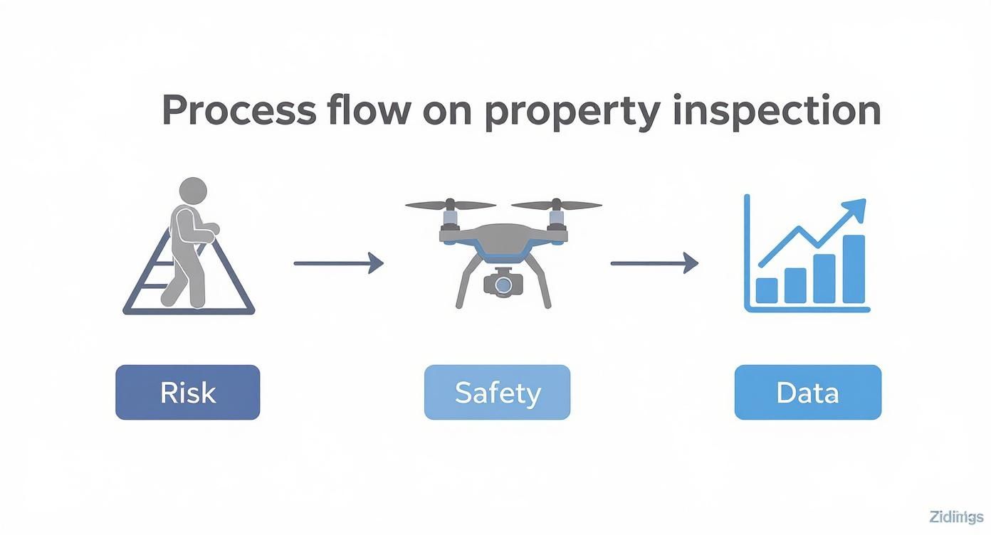
The image really highlights how modern drone surveys replace dangerous manual work with a safe, efficient workflow that produces far superior data. This process is central to a modern and effective building condition survey, putting both the safety of the team and the quality of the final report first.
This multi-layered approach to data ensures nothing gets missed, giving property managers and owners the clear, actionable insights they need to look after their assets properly.
The Technology Behind the Inspection
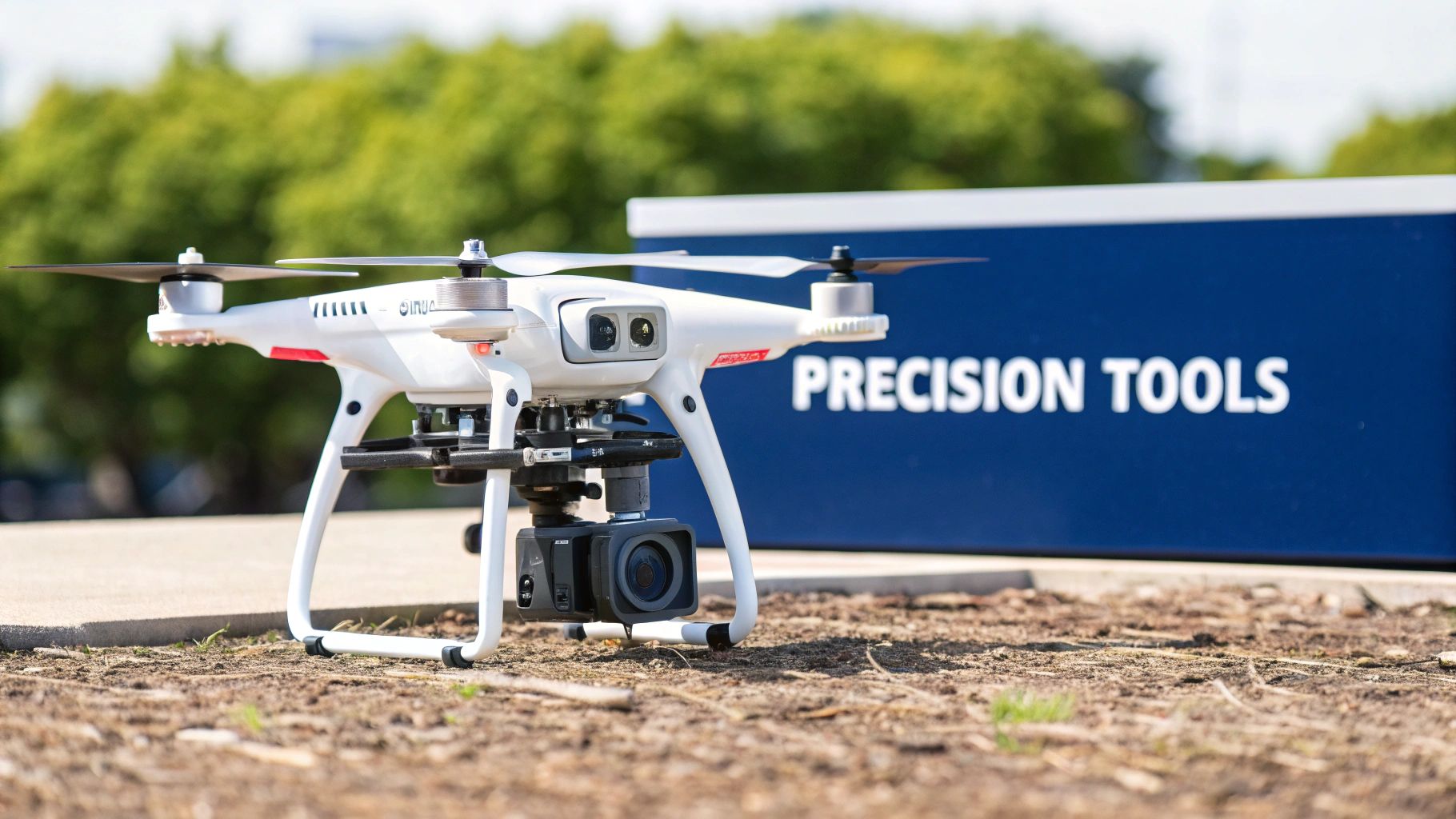
A top-tier drone building survey isn't just about a skilled pilot at the controls. It's a finely-tuned system where advanced hardware and smart software work in concert. The drone itself is really just the platform—an aerial workhorse designed to carry the specialist tools needed for a proper inspection.
The first big decision is always which type of drone to fly.
If you're inspecting a complex structure, say a historic listed building or a high-rise with lots of intricate facade details, you'll want an agile multi-rotor drone like a quadcopter. Their ability to hover motionless, ascend vertically, and navigate tight corners is exactly what you need for getting those perfect, close-up shots.
On the other hand, for a vast industrial estate or a sprawling logistics centre, a fixed-wing drone is a much better fit. These operate more like a conventional aeroplane, covering huge areas far more quickly. They're perfect for creating those initial large-scale site maps and general overviews.
The Sensors That Do the Seeing
The real magic of a drone building survey happens in the payload—the collection of specialised sensors it carries. This is where all the raw data comes from, and picking the right sensor for the right job is what separates a basic overview from a deep, diagnostic report.
The table below breaks down the main sensor types we use and what they're best for. Each one is a specialist tool, chosen for a specific task.
Drone Sensor Payloads and Their Applications
| Sensor Type | What It Measures | Primary Use Case | Example Application |
|---|---|---|---|
| High-Res RGB Camera | Detailed visual imagery (photographs) | Creating 3D models and visual defect identification | Finding and mapping cracks, spalling concrete, or missing roof tiles with pinpoint accuracy. |
| Thermal (Infrared) | Surface temperature differences | Detecting hidden moisture, insulation gaps, and energy loss | Spotting a water leak behind a facade or identifying where a thermal bridge assessments is needed to boost energy efficiency. |
| LiDAR Scanner | Precise distance using laser points | Creating survey-grade 3D point clouds for accurate measurements | Generating hyper-accurate architectural models for a refurbishment project or conducting a structural analysis. |
By combining these sensors, the drone becomes much more than just a flying camera. It’s a powerful, non-invasive diagnostic tool that can see far more than the human eye ever could.
Flight Planning and Data Processing
Every flight is meticulously planned before the drone even leaves the ground. We use automated flight-planning software to map out a route that guarantees 100% coverage of the building’s surface. This creates a systematic grid of overlapping images, which is essential for building a flawless 3D model later. The skill involved in this process is significant; you can learn more about professional aerial photography in construction to appreciate the nuances.
The UK market places a huge emphasis on having the best gear. In fact, the hardware segment—the drones and sensors themselves—accounts for roughly 66.2% of the total UK drone market revenue. It just goes to show how much the industry invests in getting the right platforms for precise survey work.
Once the flight is complete, all that data gets uploaded to powerful processing platforms. This is where the thousands of images and data points are crunched and converted into something genuinely useful: actionable reports, interactive 3D models, and clear defect analyses for facilities and property managers.
Key Benefits for Property Owners and Managers
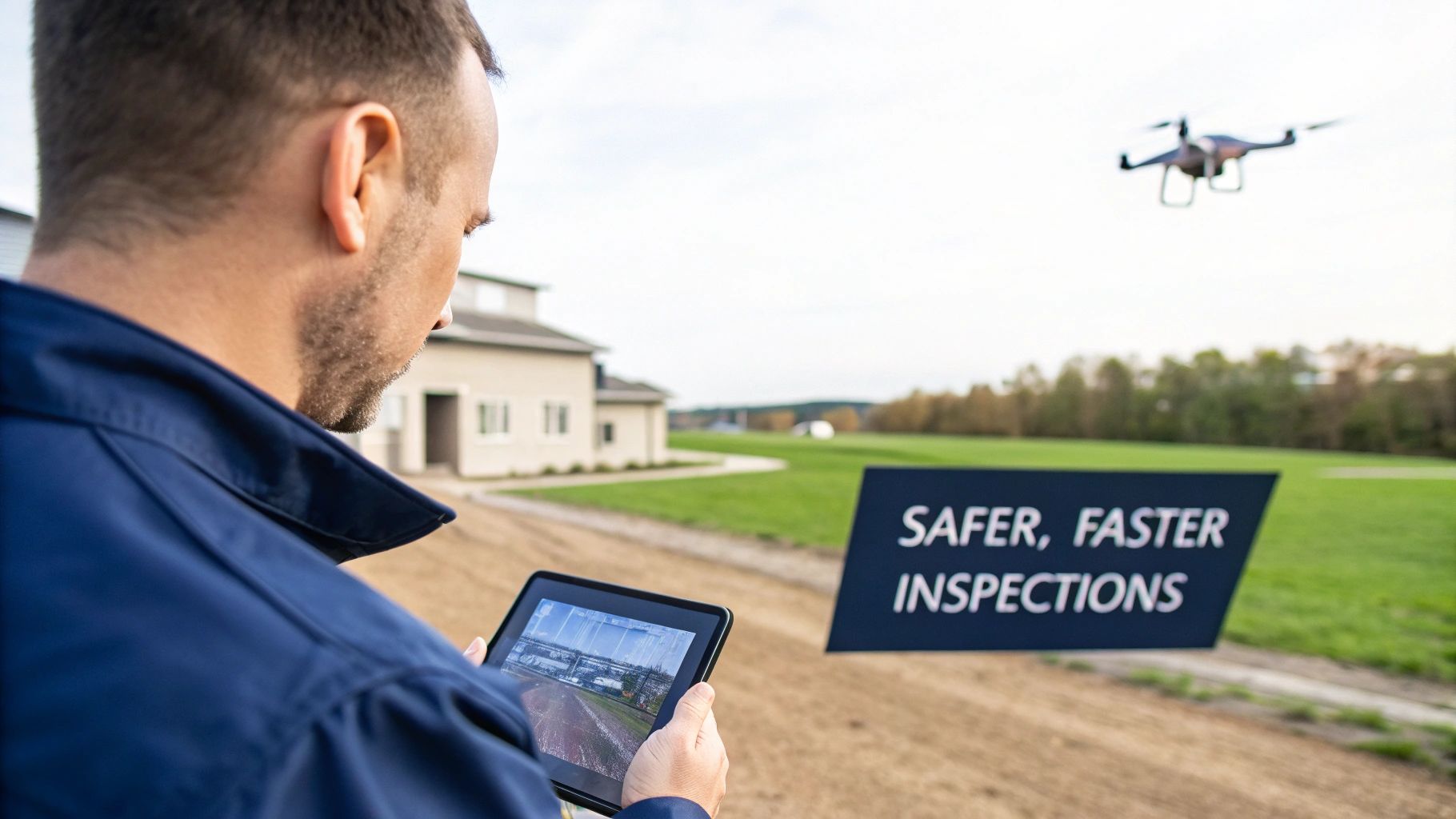
Sure, the technology is impressive, but what does a drone building survey really do for you? It boils down to clear, measurable advantages that directly impact your bottom line and how efficiently you can run your properties. We're talking about tangible value, not just industry buzzwords.
The most immediate and critical benefit? A massive improvement in safety.
Drones keep your inspectors' feet firmly on the ground, completely removing the risks that come with working at height – one of the leading causes of serious accidents right here in the UK. This isn't just about protecting people; it’s a proactive safety measure that simplifies your risk assessments and cuts down on liability.
Maximising Budgets and Asset Value
The financial case for using drones is hard to argue with. Think about traditional inspections: they often demand expensive scaffolding, cherry pickers, and a lot of labour hours, all of which bloat your maintenance budgets. Drones simply fly past these costs, getting a comprehensive inspection done in a tiny fraction of the time.
That speed translates into direct cost savings and far less disruption for your tenants or business operations. It’s no surprise the UK construction sector has embraced them; project managers have reported survey time reductions of up to 30% compared to old-school methods. This rapid data gathering is a key reason why around 67% of UK construction firms now use drones for surveying and monitoring. You can find more insights on the growth of the UK drone industry on horusdrones.com.
But the value goes way beyond just the initial cost savings. The incredibly detailed data captured allows you to create a 'digital twin' of your property.
A digital twin is more than just a 3D model; it's a dynamic, data-rich replica of your physical asset. It allows you to track building degradation over time, plan preventative maintenance with surgical precision, and forecast future capital expenditure accurately.
This level of insight completely changes the game, shifting building management from a reactive, firefighting exercise to a proactive, strategic process.
Creating an Undeniable Digital Record
Every flight generates a time-stamped, unchangeable digital record of your property’s exact condition at that moment. This detailed archive is worth its weight in gold for several reasons:
- Asset Management: It gives you a clear, objective baseline to track the health of your asset and plan out long-term maintenance cycles.
- Insurance Claims: If damage occurs, you have irrefutable photographic evidence of the building's condition beforehand. This can make a world of difference in speeding up insurance claims.
- Dispute Resolution: The objective data can quickly clarify responsibilities and head off potential disputes with contractors or tenants about the property’s condition.
Ultimately, a drone survey arms you with the hard data you need to protect your investment, spend smarter, and ensure the long-term integrity of your assets.
How to Choose the Right Drone Survey Partner
Choosing a partner for your drone building survey isn't just about finding someone who can fly a drone. Far from it. The real value—the quality of your final report—hinges entirely on their professionalism, technical know-how, and genuine understanding of building structures.
Picking the wrong company can be a costly mistake, leaving you with useless data, compliance headaches, or a completely wasted investment.
You need a solid checklist to properly vet potential providers. This is the only way to ensure you partner with a company that delivers precise, insightful, and legally sound results, protecting both your property and your budget. Let's start with the absolute non-negotiables.
Verifying Credentials and Insurance
Before you even start talking about the project specifics, you need to ask for proof of two critical things.
First, they must hold a valid Permission for Commercial Operations (PfCO) or an Operational Authorisation from the Civil Aviation Authority (CAA). This isn't just a nice-to-have; it's a legal requirement for anyone doing commercial drone work in the UK.
Second, ask to see their certificate of public liability insurance. A standard policy won't cut it, as most exclude aviation activities. You need to see proof that their coverage is specifically for commercial drone operations and that the indemnity limit is appropriate for a project of your scale. Any professional outfit will have these documents ready to go.
Hiring an uncertified or uninsured operator is a huge gamble. You don't just risk getting poor-quality data; you expose yourself to massive legal and financial liability if an accident happens on your property.
Assessing Experience and Technical Skill
Once the legal and insurance boxes are ticked, it's time to dig into their actual experience. A firm that mostly does simple roof inspections for homeowners might not have the chops for a detailed facade survey on a listed historic building. The skills are different.
Here are a few questions you should be asking to gauge if they're the right fit:
- Can you show me a portfolio? Ask to see case studies or sample reports from projects similar in scope and complexity to yours. This is hands-down the best way to judge the quality and detail you can expect.
- What equipment do you use? Their choice of drones and sensors (like thermal or LiDAR cameras) should match your project's goals. A true expert won't just list the gear; they'll explain why a particular piece of kit is the right tool for your specific job.
- How do you handle the data? Get them to talk you through their data processing workflow. Creating accurate 3D models and detailed reports isn't a simple 'point and click' process; it relies on sophisticated software and expertise. Understanding their process is key, especially if you need the data for more complex applications, like integration with a Building Information Modelling service.
By looking past the price tag and really focusing on compliance, hands-on experience, and technical capability, you can confidently choose a drone survey partner who will be a genuine asset to your property management strategy.
Your Questions Answered
Getting into the specifics of a drone building survey can naturally bring up a few questions. To help you feel completely clear on the process, we've put together some straightforward answers to the queries we hear most often from property owners and managers.
How Much Does a Drone Building Survey Cost in the UK?
There really is no one-size-fits-all price for a drone building survey, because the cost is tied directly to the specifics of your project. The main things that influence the price are the building's size, how complex its architecture is, and the level of detail you need in the final report.
A simple visual roof inspection on a standard commercial unit, for example, might only cost a few hundred pounds. On the other hand, a full-blown survey of a large industrial facility using advanced kit like LiDAR or thermal imaging could run into several thousand. The best way forward is always to ask for a detailed quote that spells out exactly what's included and what you'll get at the end.
Can Drones Survey Buildings in Bad Weather?
The short answer is no. Any professional, certified drone operator worth their salt will never fly in bad weather like high winds, rain, fog, or snow. It's not just a major safety risk to people and property; these conditions seriously mess with the quality of the data being collected.
Interestingly, the perfect weather for aerial photography is often a lightly overcast day. The cloud cover acts like a giant softbox, cutting down on the harsh shadows and glare you get from bright, direct sunlight. A good survey partner will always put safety and data quality first, and will have no hesitation in rescheduling a flight if the weather isn't playing ball.
What Kind of Report Will I Receive?
The final report you get is all down to what was agreed upon before the survey even started. It's really important to get this clear right from the outset.
A typical report package will usually include:
- An executive summary that gets straight to the key findings.
- High-resolution, annotated images pinpointing specific defects or areas you need to look at.
- Access to an online gallery with all the photos captured, for your own records.
For more advanced surveys, you'll get much richer data. This could be anything from detailed thermal maps showing heat loss, 2D orthomosaic maps for accurate site plans, or even a fully interactive 3D 'digital twin' of your entire building.
How Long Does the On-Site Survey Take?
Speed is one of the biggest wins with a drone building survey. The time spent on-site capturing the data is remarkably quick. We can often complete a full survey of a typical commercial building in just a few hours.
To give you some context, the same job could take a manual inspection team several days, not to mention all the hassle of setting up scaffolding or cherry pickers. While the flight itself is fast, don't forget that processing the data and putting together a detailed report will usually take another few business days to get everything spot on.
Ready to see how a data-driven survey can transform your asset management? The team at Luths Services specialises in providing detailed, actionable insights for commercial, heritage, and industrial properties. Discover our approach to sustainable building consultancy at https://www.luths-services.com.


